Mapping and classification of intertidal mussel and oyster beds
Mussels (Mytilus edulis) and Pacific oysters (Crassostrea gigas) occur in intertidal areas where they form irregularly shaped beds. These beds are important for ecological functioning of coastal systems and they are an important food source for birds and fish. These beds emerge and grow due to recruitment and disappear due to hydrodynamic activity. It is hard and labour intensive to measure coverage and density in the field.
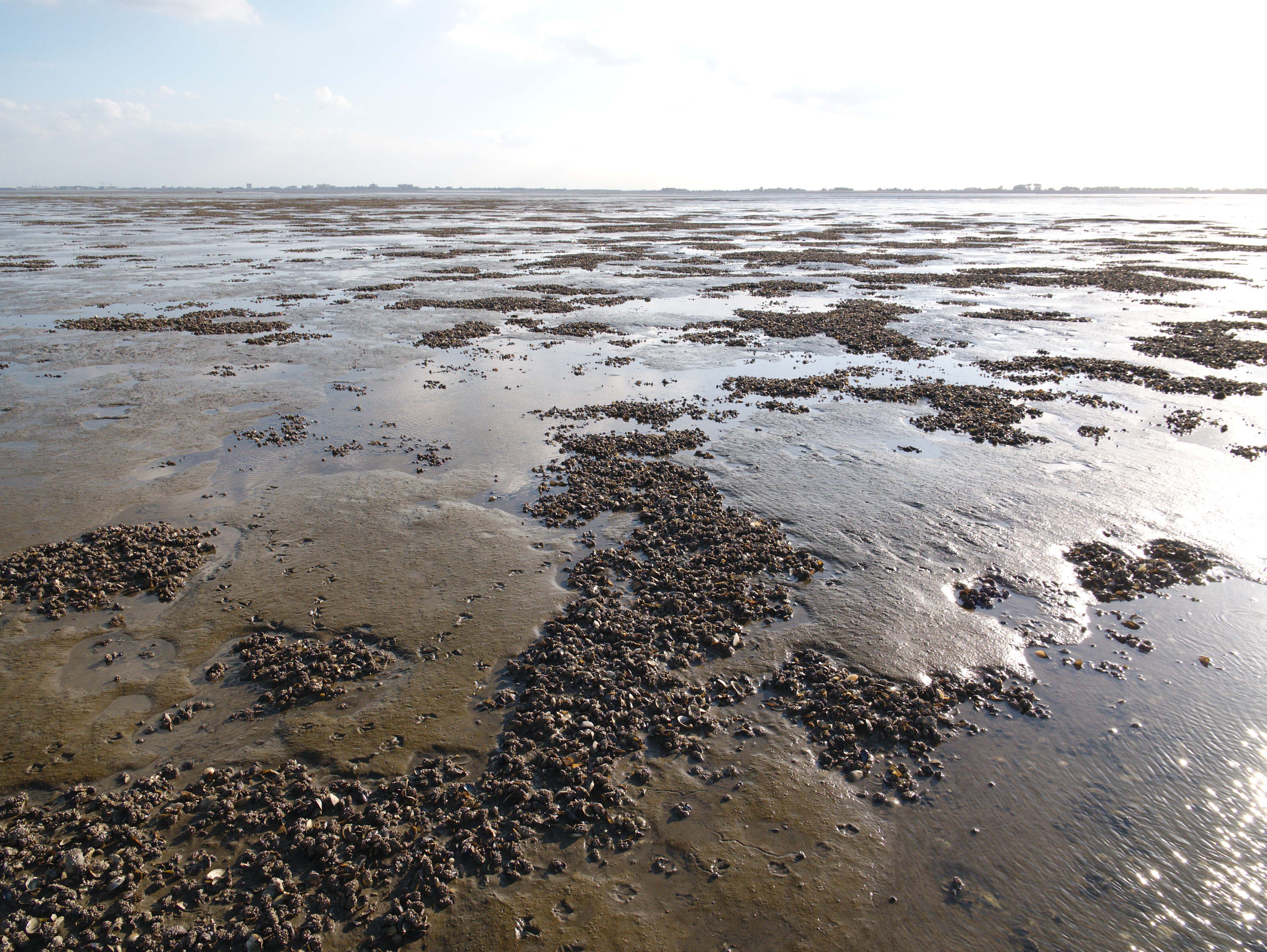
The objective of this project with Wageningen Marine Research was to gain experience and develop best practices for aerial mapping of bivalve beds using RPAS and to investigate possibilities to automate classification of surfaces using Machine Learning segmentation techniques.

In collaboration with Blik van Boven Blik van Boven, we mapped an area of 14 ha with a mussel bed on the Hond Paap in the Ems estuary in the Wadden Sea. To obtain cm-level spatial accuracy we used Propeller aeropoints as ground control points. We flew missions at different altitudes and produced maps of the collected images using photogrammetry software Agisoft Metashape.
The orthomosaics show the potential for detailed delineation of bare mudflat and bivalve beds. We are currently developing a workflow using the Convolutional Neural Network U-net for segmentation of mussel beds.
.png)
We sent only premium content when we think is worth enough to share.